
Municipal & Infrastructure Networks
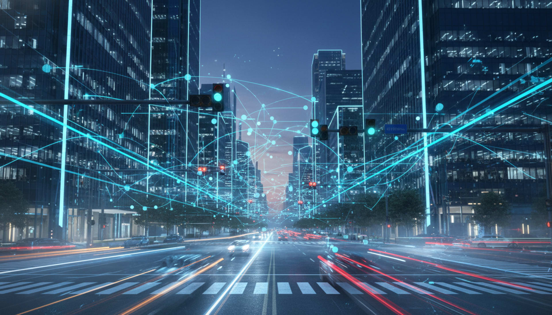
Cities are the most complex mobility environments on earth. Connected road intelligence designed for municipal infrastructure helps cities make their streets safer, smarter, and more responsive.
Overview
The Connected City Road Network
Urban road networks generate enormous amounts of safety-relevant data every minute — near-miss events, hazard clusters, congestion hot spots, pedestrian flow patterns. Most of that data is never captured in a form that actually improves road safety outcomes.
Magen Daniel Systems is building infrastructure-connected V2X capabilities that allow cities to participate as active nodes in the safety network — broadcasting real-time advisories to vehicles, collecting aggregated road intelligence, and deploying virtual signage without physical installation costs.
Our platform is designed to integrate with existing city traffic management systems through open APIs, not replace them.
Key Capabilities
Infrastructure-Grade Connected Mobility
Virtual Traffic Signage
Deploy dynamic speed limits, hazard warnings, and road closure advisories to connected vehicles via V2X broadcast — without physical signage installation or maintenance costs.
Road Hazard Mapping
Continuous aggregation of anonymised vehicle telemetry builds a living map of hazard clusters, surface degradation hot spots, and persistent danger zones — giving infrastructure teams actionable intelligence.
Smart Intersection Management
Infrastructure nodes at intersections broadcast real-time signal phase data and pedestrian presence to approaching vehicles — reducing intersection conflict and improving flow.
City Mobility Data Services
Aggregated, anonymised mobility datasets delivered to city planning teams — covering route demand patterns, incident hot spots, and safety event frequency by corridor.
Open API Integration
The platform is designed to connect with existing UTM, ITS, and city operations centre systems through documented APIs — preserving existing investments while adding V2X capability.
Data Sovereignty Controls
Cities retain ownership and control of their road network data. The platform is being designed with configurable data residency and access permissions aligned to public sector compliance requirements.
Practical Scenarios
Smarter Cities Through Connected Roads
School Zone Safety Corridors
Time-activated V2X speed advisories broadcast automatically during school opening and closing hours — enforcing awareness without fixed camera infrastructure or ongoing enforcement cost.
Road Works & Construction Zones
Dynamic V2X advisories notify approaching vehicles of lane closures, reduced speed zones, and active machinery — updated in real time without relying on physical signage placement or retrieval.
Event & Mass Gathering Traffic
Large public events create temporary high-risk traffic environments. V2X infrastructure nodes allow rapid deployment of dynamic route guidance and pedestrian flow warnings across the affected area.
Flood & Weather Emergency Response
During extreme weather events, V2X infrastructure can broadcast real-time road closure and hazard advisories city-wide — updating faster than physical signage deployment allows.
Partner with Us on Smart City Infrastructure
We work with municipal authorities, transport agencies, and smart city programmes to evaluate connected mobility solutions for their specific urban environment.